Skip to content
Saint-Malo Guide

The map of Saint-Malo and its surroundings

Updated on 23 July 2026

The whole bay on one map: the best posts for watching the spring tides, the islands the sea uncovers twice a day, the beaches, Saint-Malo’s heritage and the places to stay recommended by this guide. Each category is a layer you can show or hide, and every place has its own descriptive entry.

Saint-Malo is a town you visit to the rhythm of the tide. At high water on a big coefficient, you stand on the Sillon seafront or up on the ramparts and watch the sea take up all the room; at low water, you walk out to the Grand Bé and Fort National, hunt for shellfish on the foreshore, and stroll across beaches that have suddenly become immense. The map below gathers both faces of the town — and what you need to know to enjoy them without being caught out.

Around the corsair city, the Emerald Coast rewards a detour: Dinard and its villas facing the ramparts, Cancale and its oysters below the Pointe du Grouin, Cap Fréhel and Fort la Latte, Dinan and Saint-Suliac on the banks of the Rance. The “Day trips nearby” layer places them all, with a sense of how long each deserves.

One word of caution, always the same: the places marked “reachable at low tide” are cut off as the tide rises, and the sea here comes back faster than you can walk. Before crossing to the islands or heading onto the foreshore, check the official SHOM tide times.

The map of Saint-Malo and its surroundings

Filter layers by category

Loading the map…

Base map © OpenStreetMap contributors ·openstreetmap.org/copyright ↗

Every place on the map

Spring-tide viewpoints— 10 places

Bidouane tower

Intra-Murosto be checked

The horseshoe watchtower at the north-western corner of the ramparts, a former powder magazine, commands the exact axis of the islets: Grand Bé, Petit Bé, Cézembre offshore. It is the classic photographer's post for sunsets and equinox high tides — the sea strikes the rock just below. The adjoining esplanade carries Surcouf's statue; from here one glance takes in everything the tide uncovers or reclaims to the west.

Staying Intra-Muros in Saint-Malo: an honest guide

Holland bastion (ramparts)

Intra-Murosto be checked

The south-western corner of the ramparts, lined with cannons, overlooks the Môle des Noires and the chessboard of islets — Grand Bé, Petit Bé, Cézembre offshore. It is one of the best posts for taking the measure of the tidal range: six hours apart, the sea pounds the foot of the wall, then gives way to hundreds of metres of sand. The full wall-walk runs 1.7 km and is free to stroll at any hour; this bastion is its most maritime lookout, facing the sunset.

Staying Intra-Muros in Saint-Malo: an honest guide

Môle des Noires pier

Saint-Servanto be checked

The half-kilometre pier protecting the outer harbour runs due west, its light at the tip. In a spring-tide storm, walls of water sweep right over it: the sight, watched from the Bon-Secours slipway or the esplanade set back from it, is the fiercest in the bay — access to the pier is then closed by municipal order, and walkers have been swept off it before. In calm weather, the walk out to the light gives the finest low-angle view of the ramparts and the harbour entrance.

Pointe de la Malouine (Dinard)

Dinard – Saint-Lunaireto be checked

Dinard's other point, west of Écluse beach, developed in the Belle Époque with the resort's most spectacular villas — turrets, loggias and English names carved on the gateposts. The path rounding it at rock level looks due north towards Cézembre and the Ébihens: at a spring tide with swell, the breakers frame the villas, and the contrast makes some of the finest pictures on the Emerald Coast.

Pointe de la Varde

Rothéneufto be checked

This heathland promontory between the Minihic and Le Val closes the bay to the east, some thirty metres above the water. A former military site — blockhouses of the Atlantic Wall remain — it is now a protected natural area crossed by the customs officers' path (GR 34). The view sweeps full circle: the Saint-Malo roadstead and the Sillon on one side, the coast towards Rothéneuf and Cancale on the other. At spring tides, foam bursts over the reefs at the foot of the point.

Pointe de la Vicomté (Dinard)

Dinard – Saint-Lunaireapproximate location

South of Dinard, the Pointe de la Vicomté closes the entrance of the Rance opposite the Alet headland. The coastal path here gives the best overview of the estuary: the tidal power dam upstream, the cove and moorings below, Saint-Malo and the Solidor tower across the water. When the turbines run, you literally watch the Rance flow like a river — one way, then the other.

Pointe du Décollé (Saint-Lunaire)

Dinard – Saint-Lunaireto be checked

In Saint-Lunaire, ten minutes from Dinard, the Pointe du Décollé juts out as a granite spur above the sea. A stone bridge — the natural bridge of the Décollé — ties it to the shore above a chasm where the swell rushes in noisily at spring tides. The view takes in the whole Emerald Coast, from Cap Fréhel to Saint-Malo. Free access; the Sirens' cave below is revealed at low tide.

Pointe du Moulinet (Dinard)

Dinard – Saint-Lunaireto be checked

At the entrance to Dinard, this point bristling with Belle Époque villas faces the ramparts of Saint-Malo across the Rance estuary. It is the best place to see the corsair city “set upon the sea” at high water, then ringed with sand at low water — the tidal range read in a single glance. The promenade rounds the point at water level; on rising spring tides, some sections get licked by the waves.

Rochebonne sea wall

Paramé – Rochebonneto be checked

The sea wall carries on eastwards past the Sillon, along Paramé and Rochebonne, with the same head-on encounter with the open sea but half the crowd. On the days when “the sea leaps”, the plumes fly as high as on the Sillon, and the set-back café terraces let you watch while staying dry. At low tide the beach uncovers several hundred metres — the haunt of shore foragers and long winter walks.

Affordable seaside stays in Saint-Malo: the smart areas

Sillon sea wall

The Sillonto be checked

Three kilometres of seafront facing the open sea, from the foot of the ramparts to Rochebonne. This is the grand theatre of Saint-Malo's tides: on a big coefficient with a north-westerly swell, waves leap the wall at high tide — the famous show the crowds come to photograph. The rows of wooden breakwater posts planted in the sand to break the swell give the Sillon its silhouette. At a stormy high tide, watch from the hotels or the set-back streets, never from the wall itself.

Sea-view hotels in Saint-Malo: the Sillon seafront
At low tide— 7 places

Besnard island and Chevrets beach

Rothéneufapproximate location

North of the Rothéneuf inlet, the wild sweep of Chevrets beach backs onto dunes between Besnard island and the Pointe du Meinga. The island is reached along a sand spit, and the path around it strings together coves and viewpoints over the open sea. The inlet itself all but empties at low tide: a landscape of sand and channels that changes by the hour. Few facilities and a lot of space — the exact counterpoint to the urban beaches of the Sillon.

Du Guesclin island

Cancale – Pointe du Grouinto be checked

Between Rothéneuf and Cancale, this fortified rock set in the middle of its cove is reached dry-shod at low tide, across the sand. A castle was held here in the 14th century by the family of Constable Bertrand du Guesclin; the present 18th-century fort was Léo Ferré's home from 1959 to 1968 — he wrote some of his finest songs here. The island is private: no visits, but the walk round the rock and the cove are worth the detour on their own. Watch the rising tide, which closes the crossing.

⚠ Reachable at low tide only — check the official SHOM tide times before crossing.

Fort National

Intra-Murosto be checked

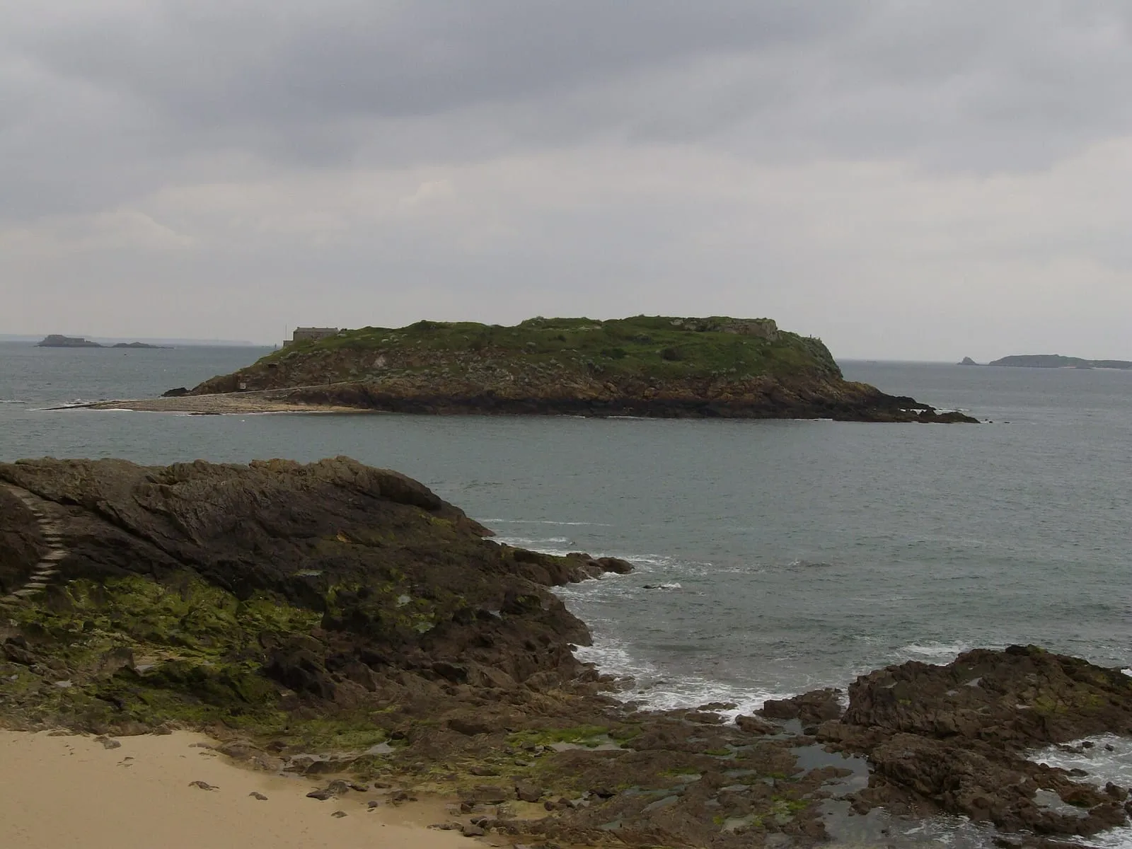
On its rock facing Éventail beach, this fort designed by Vauban in 1689 and built by Garangeau in Chausey granite guarded the roadstead together with the Petit Bé and La Conchée. You walk out to it dry-shod at low tide; the flag flying means the guided tour is open, in season. From the rampart walk, an unbeatable view over the Sillon and the city walls. At the biggest coefficients the sea uncovers the crossing generously — then closes it again in under an hour.

Visits at low tide, roughly Easter to late September — the flag is flown when the fort is open.

⚠ Reachable at low tide only — check the official SHOM tide times before crossing.

Staying near Grand Bé: the walk out, tide times and safety margin · Official website ↗

Grand Bé

Intra-Murosto be checked

The islet where Chateaubriand asked to be buried so as to “converse only with the sea”: his grave, a nameless slab topped with a cross, has faced the open water since 1848. You reach it dry-shod from Bon-Secours beach along a causeway the sea uncovers around mid-tide. Walking round the islet gives the finest close-up view of the ramparts. The sea cuts the Grand Bé off for several hours at every tide: check the times before crossing — rescuing stranded walkers is a local classic.

⚠ Reachable at low tide only — check the official SHOM tide times before crossing.

Staying near Grand Bé: the walk out, tide times and safety margin

Mordreuc slipway (Pleudihen-sur-Rance)

Rance valleyapproximate location

One of the finest spots on the maritime Rance, halfway between Saint-Malo and the Châtelier lock. At high tide the slipway dips into a tranquil lake; at low tide the estuary all but withdraws, uncovering mudflats, salt meadows and the hulks of old boats lying on their sides — a landscape dominated by the ruins of Péhou castle. A café-guinguette on the slipway in season. The spectacle of the refilling, on the flood, is worth lingering an hour for.

Petit Bé

Intra-Murosto be checked

Behind the Grand Bé, this second islet carries a fort designed by Vauban at the end of the 17th century, one link in the ring of fire that locked the roadstead together with Fort National and La Conchée. A volunteer association is restoring it and opens it for visits depending on tide and season. The crossing continues from the Grand Bé along a second causeway, uncovered for less time than the first: the window is shorter, so the vigilance must be greater.

⚠ Reachable at low tide only — check the official SHOM tide times before crossing.

Staying near Grand Bé: the walk out, tide times and safety margin

Rochebonne foreshore – shore foraging

Paramé – Rochebonneto be checked

At spring tides, the foreshore uncovered between Rochebonne and the Minihic becomes shore-foraging country: cockles and clams in the sand, winkles and shrimp in the rock pools. Respect the minimum sizes and quantity limits, and check the current health advisories before gathering anything. The local golden rule: walk out as the sea falls, turn back at slack water — the flood comes back in here at walking pace.

⚠ Reachable at low tide only — check the official SHOM tide times before crossing.

Shore foraging in Saint-Malo: where to stay and when to come

Beaches— 12 places

Bas-Sablons beach

Saint-Servanto be checked

Saint-Servan's beach, at the foot of the Alet headland, sheltered from the open swell by the pier and the peninsula's heights: the water here is often calmer than on the Sillon. Views over the comings and goings of the harbour entrance and across to Dinard. The path from the end of the beach loops around Alet and leads to the Solidor tower — the most rewarding short walk in town.

Bon-Secours beach and its sea pool

Intra-Murosto be checked

The locals' beach, below the western ramparts, famous for its 1930s seawater pool: a stone basin refilled by every tide, overlooked by its emblematic diving board — you can swim whatever the hour of the tide. It is also the starting point of the low-tide crossing to the Grand Bé. The sunsets from the sand, facing the islets, are deservedly famous.

Staying near Grand Bé: the walk out, tide times and safety margin

Du Guesclin cove

Cancale – Pointe du Grouinto be checked

A wide cove of pale sand backed by its dune, guarded in the middle by the fortified Du Guesclin island — one of the most photogenic landscapes on the coast road to Cancale. An undeveloped beach in a protected natural site: no sea wall, no shops, parking is set back. Lifeguarded in summer on the western side. At low tide a walk round the island improvises itself; at high tide the cove becomes a marine amphitheatre again.

Écluse beach (Dinard)

Dinard – Saint-Lunaireto be checked

Dinard's central beach, trimmed with its blue-and-white striped tents, between the Pointe du Moulinet and the Pointe de la Malouine. The Belle Époque setting — casino, listed villas, bathing huts — has been the resort's picture for 150 years; Picasso painted here over several summers. A seawater pool sits at one end, with lifeguards in summer. Out to sea, the island of Cézembre and, to the right, the ramparts of Saint-Malo.

Éventail beach

Intra-Murosto be checked

At the foot of the castle, this is the beach nearest the ramparts on the Sillon side, facing the rock of Fort National. At low tide you set off from here dry-shod to the fort; at high tide only a ribbon of sand remains below the walls. Busy in summer for its location, it is above all a front-row seat for the spring tides: at high water the waves come to pound the rock armour beneath the castle.

La Touesse beach (Saint-Coulomb)

Cancale – Pointe du Grouinapproximate location

Between the Pointe du Meinga and the Du Guesclin cove, a sheltered fine-sand beach, quieter than its Saint-Malo neighbours. This is Colette's shore: from her villa at Rozven, just above, she wrote among others Le Blé en herbe (1923), whose plot plays out on these strands. Coves and rocks at both ends, pools at low tide, the coast path running along above — the place keeps something of the insouciance of writers' summers.

Le Val beach (Rothéneuf)

Rothéneufapproximate location

On the far side of the Pointe de la Varde, Le Val opens the sequence of Rothéneuf beaches: wilder, backed by dunes and facing due north — when the swell gets in, the waves here are among the cleanest in the area. At low tide the sand almost reaches the Rothéneuf inlet. Fewer facilities than in town: you come here for space and light.

Longchamp beach (Saint-Lunaire)

Dinard – Saint-Lunaireapproximate location

The great beach between Dinard and Saint-Lunaire, one of the most extensive on the Emerald Coast, framed by the Pointe du Décollé and the Pointe de la Garde Guérin. Facing north-west, it is the local surf and sea-wading spot when the swell gets in; at low tide the sand uncovers for hundreds of metres. Less urban than the Écluse, more family-friendly than wild — and the coast path leaves from both ends.

Minihic beach

Paramé – Rochebonneto be checked

Between Rochebonne and the Pointe de la Varde, a quieter beach than its neighbours, edged with rocks that uncover fine pools at low tide — the domain of children with shrimping nets. The headland shelters it from north-easterly swells. Climbing towards La Varde along the GR 34 path brings you in a few minutes to one of the best viewpoints on the Saint-Malo coast.

Môle beach

Intra-Murosto be checked

A small beach tucked between the Holland bastion and the Môle des Noires, the most sheltered at the foot of the ramparts. Fine sand and little swell in westerly weather thanks to the pier: this is the fallback on windy days, when the Sillon is unusable. At low tide it merges with Bon-Secours into a single stretch of sand. Beware in storms: the surroundings of the pier are dangerous and closed to the public.

Rochebonne beach

Paramé – Rochebonneto be checked

The family-friendly continuation of the Sillon, level with Paramé: beach clubs in summer, a sailing school, a launching slip and the promenade behind. The sand stays wide even at half-tide, making it the most usable beach in town on middling coefficients. The seafront buildings and villas date from Paramé's late-19th-century seaside golden age.

Affordable seaside stays in Saint-Malo: the smart areas

Sillon main beach

The Sillonto be checked

The three-kilometre urban beach running along the sea wall, regularly ranked among the finest in France. At a big-coefficient high tide it vanishes altogether — the sea then pounds the wall; at low tide it stretches out for hundreds of metres, punctuated by the lines of oak breakwater posts. Lifeguarded in summer at several stations; the immense foreshore lends itself to walking, kite-flying and endless end-of-day swims.

Sea-view hotels in Saint-Malo: the Sillon seafront
Heritage & views— 10 places

Alet headland

Saint-Servanto be checked

This is where Saint-Malo began: the Alet peninsula carried the Gallo-Roman city and the first bishopric, before people and power moved to the neighbouring rock, easier to defend. What remains: the ruins of Saint-Pierre cathedral, stretches of rampart, and the 18th-century fort honeycombed with galleries by the German army — the 1939-45 memorial can be visited there. The path circling the peninsula beneath the trees gives the best view of the harbour entrance, the islets and Dinard.

Carved rocks of Rothéneuf

Rothéneufto be checked

Father Adolphe Julien Fouré, who retired to Rothéneuf after a stroke left him deaf and nearly mute, spent a quarter of a century (c. 1894-1919) carving several hundred figures straight into the granite of the shore: the imaginary saga of the Rothéneuf clan, a lineage of corsairs and sea monsters. Spray and frost are slowly erasing the work, which makes seeing it all the more precious. Private site, admission charge, path overhanging the sea.

Admission charge; opening hours vary by season.

Grand Jardin lighthouse

Roadstead & offshore islandsapproximate location

The sentinel of the roadstead: planted on its reef west of Cézembre, the lighthouse guides the entrance of Saint-Malo's main channel. Dynamited by the German army in 1944, it was rebuilt identically in 1950 and has since been automated. It cannot be visited, but it punctuates every Saint-Malo horizon — and the excursion boats for Dinard, Cézembre or Cap Fréhel pass at its foot. At a big low tide, its rocky base uncovers widely.

La Conchée fort

Roadstead & offshore islandsapproximate location

The military masterpiece of the roadstead: a fort wedded entirely to its rock, four kilometres offshore, judged by Vauban himself among his most audacious works. Bombarded as early as 1693 by the English fleet — which it helped repel — and strafed in 1944, it has been restored stone by stone by an association since the 1980s. It opens only very occasionally: admire it from the excursion boats, the Pointe de la Varde or the Sillon, set on the horizon.

Prat tide mill (La Vicomté-sur-Rance)

Rance valleyapproximate location

The maritime Rance once counted more than a dozen tide mills: a dyke closes a cove, the sea fills it on the flood, and the water released on the ebb turns the wheel — the same principle as the tidal power station, five centuries early. The Prat mill, attested from the 15th century, was rescued and restored to working order by an association; visits and demonstrations in summer. The adjoining cove, its salt meadows and its path sum up the Rance from before the dam.

Visits and demonstrations in summer; check the dates.

Ramparts of Saint-Malo

Intra-Murosto be checked

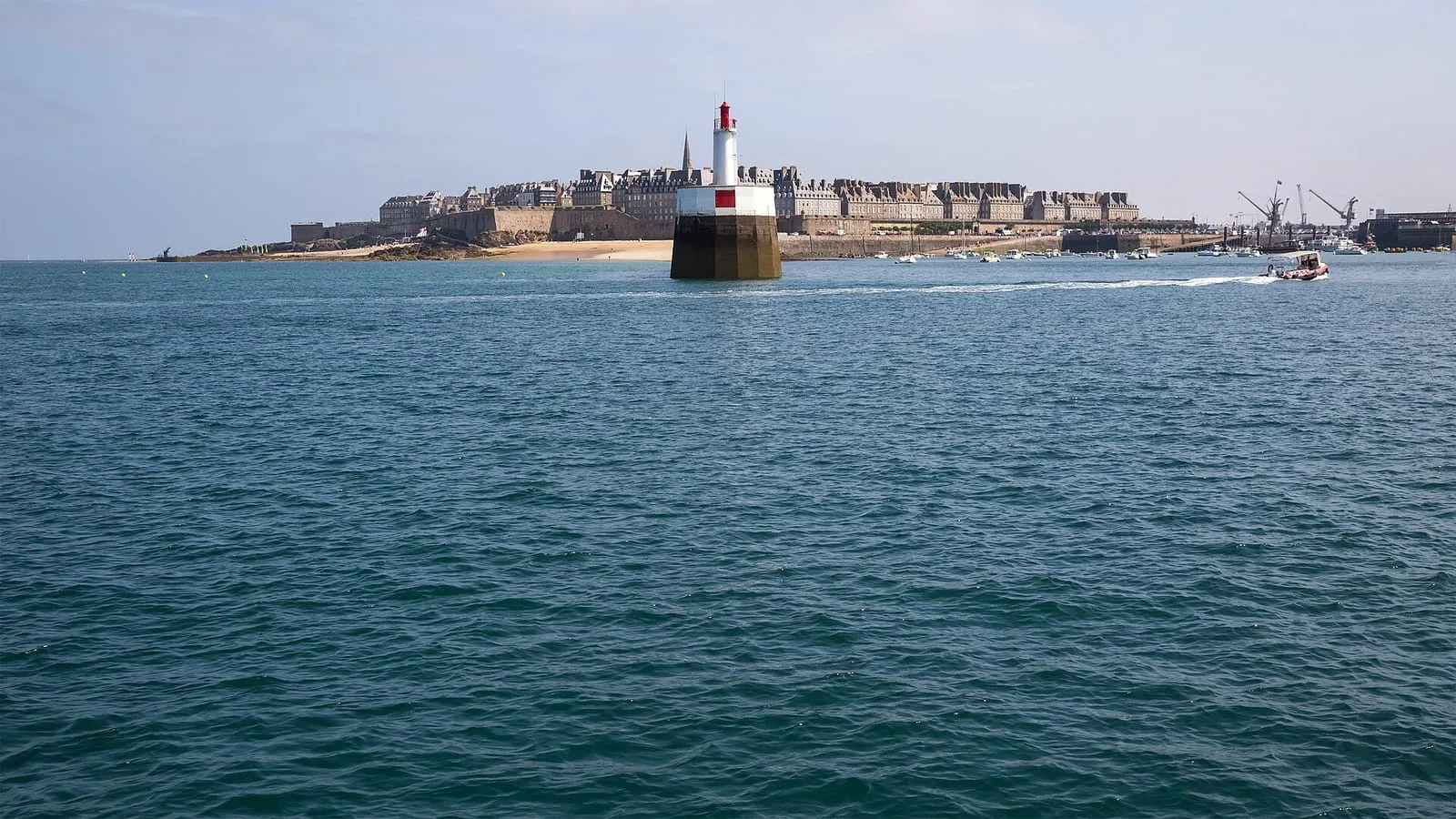
In August 1944 the battles of the Liberation destroyed nearly 80% of the walled town; it was rebuilt identically, in granite. The ramparts themselves are original — raised from the 12th to the 18th century, extended by the engineer Garangeau to Vauban's designs. The full wall-walk runs 1.7 km, free of access, punctuated by the statues of the corsairs Duguay-Trouin and Surcouf, the latter pointing his finger at England. Twice a day, the landscape at their feet is transformed by the tide.

Staying Intra-Muros in Saint-Malo: an honest guide

Saint-Malo castle

Intra-Murosto be checked

The castle guarding the entrance to the old town was enlarged by Duchess Anne of Brittany against the wishes of the Malouins; the tower she imposed in 1498 still bears her answer to their protests: “Quic-en-Groigne” — let whoever grumbles grumble, so shall it be. It now houses the town hall. The history museum in the great keep is closed pending the future maritime museum: check the project's status before visiting. The walk around the moats and the view from Éventail beach remain free.

Saint-Malo Grand Aquarium

Southern Saint-Malo – stationto be checked

Ten minutes from the centre, Saint-Malo's aquarium has made a speciality of staging: a 360° ring where sharks circle, a touch pool, and the “Nautibus”, a small submarine that genuinely dives into a populated tank. A few hundred species, from cold seas to the tropics. It is the safe bet for rainy days — and for high-tide hours, when the foreshore has vanished and the children are getting restless.

Open all year; hours vary by season.

Official website ↗

Saint-Vincent cathedral

Intra-Murosto be checked

At the highest point of the rock, the cathedral combines a Romanesque nave with a Gothic choir. Jacques Cartier received the bishop's blessing here before sailing for Canada in 1535; a slab now marks his grave, identified in 1949. The spire, brought down by the bombardments of 1944, was only restored in 1972 — its silhouette still guides sailors on their approach. Brilliant contemporary stained glass by Jean Le Moal and Max Ingrand, installed during the reconstruction.

Solidor tower

Saint-Servanto be checked

Three joined towers from the 14th century, built by Duke John IV of Brittany to hold the Rance estuary — and to keep watch on a then-rebellious Saint-Malo. Long home to the Cape Horners' museum, the tower is being redeveloped: check it is open before visiting. The site itself rewards a visit at any hour: the cobbled slipway, the fishermen's houses of Saint-Servan and, at low tide, the emptied Solidor cove where hulls lie on the mud waiting for the flood.

Malouinières & manors— 7 places

Corsair's mansion (Hôtel Magon)

Intra-Murosto be checked

The mansion built in 1725 for Auguste Magon de la Lande — shipowner, corsair and director of the French East India Company — is one of the few great shipowners' houses of the walled town to have survived the fire of 1944. You visit the panelled salons, the vaulted cellars through which cargoes passed and the rooftops from which the return of the ships was watched — a distillation of Saint-Malo's fortune in the privateering era. Guided tours; check days and times.

La Briantais park

Saint-Servanapproximate location

South of Saint-Servan, a great public park overlooking the Rance: meadows, cedars and riding avenues around a 19th-century château, heir to an older malouinière. It is where the Malouins stroll on Sundays, with one of the finest views over the estuary, the dam and Dinard — and a surprising post for watching the tide travel up the Rance. Free access to the park; the château itself opens only occasionally.

La Chipaudière malouinière

Paramé – Rochebonneapproximate location

The most famous of the malouinières — the country houses the shipowners built around Saint-Malo once the fortunes of privateering and trade overflowed the ramparts. Raised around 1710 for François-Auguste Magon de la Lande to plans attributed to Garangeau, Vauban's architect, it aligns its classical façade between courtyard and formal garden. Still inhabited by the Magon family, three centuries on. Private property: exteriors visible, occasional openings — check before going.

La Ville Bague malouinière

Cancale – Pointe du Grouinapproximate location

In Saint-Coulomb, at the heart of the Clos-Poulet, one of the most complete malouinières: a 1715 main house, chapel, dovecote and walled gardens — the ensemble gives the exact picture of what the shipowners' countryside was, a league from their counting houses. Wars and sea fortunes are recounted on the guided tour, in summer, among the furniture and keepsakes of the families who succeeded one another here. Check visiting days and times by season.

Le Bos malouinière

Saint-Servanapproximate location

Above the hamlet of Quelmer and the La Passagère slipway, an early-18th-century malouinière attributed to Garangeau, turned towards the Rance: the shipowners reached their houses by boat, on the tide, faster than by horse and carriage. A granite house between courtyard and garden, a hornbeam walk, views over the estuary. Private property open for guided tours in summer — check days and times before coming.

Limoëlou manor — Jacques Cartier museum

Rothéneufto be checked

The only surviving home of Jacques Cartier: the discoverer of Canada bought this Rothéneuf farm after his voyages and enlarged it into a manor, where he lived until his death in 1557. Restored and furnished as in the 16th century, it is visited with a guide — maps, sailing routes and the daily life of a Saint-Malo captain between two Atlantic crossings. A short visit that pairs well with the neighbouring carved rocks.

Guided tours; days and times vary by season.

Montmarin estate

Rance valleyapproximate location

The only malouinière built on the left bank of the Rance, in Pleurtuit: raised in the 18th century for a shipowner who attached a shipyard and a slipway on the estuary. Its terraced gardens step down to the water — listed as a “remarkable garden”, mixing French parterres and a scented garden. The place sums up the map's extension: the maritime Rance was Saint-Malo's second seafront, lined with residences and slipways. Open to visits in season; check the hours.

Places to stay— 10 places

Grand Hôtel des Thermessea view

Paramé – Rochebonne · €€€approximate location

The seafront grande dame, where the Sillon meets Paramé, with its thalasso spa attached: you follow the spring tide from the heated seawater pool, then from the sea-view rooms upstairs. The sea wall runs literally at the foot of the hotel — on the evenings when “the sea leaps”, the show is watched from here in the warm, out of reach of the spray.

Sea-view hotels in Saint-Malo: the Sillon seafront
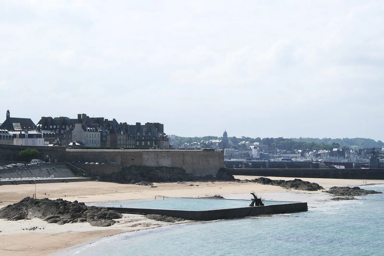
Hôtel Albasea view

The Sillon · €€approximate location

Right on the Sillon sea wall, halfway between the ramparts and Rochebonne: the sea-view rooms look straight onto the waves, with no road to cross. On big coefficients, high tide plays out beneath the windows — and the beach spreads back out at low tide. An ideal position for reaching both the walled town and the Paramé beaches on foot.

Sea-view hotels in Saint-Malo: the Sillon seafront
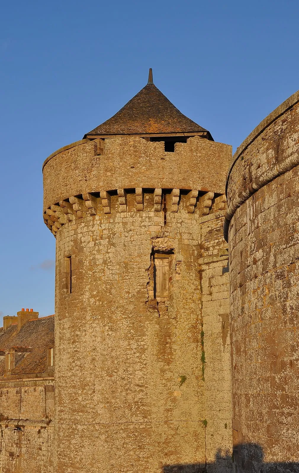
Hôtel Antinéasea view

The Sillon · €€approximate location

Next door to Le Beaufort on the Chaussée du Sillon, with the same front-line position facing the sea. The sea-view rooms, some with balconies, put the sea wall and the spring tides centre stage; on stormy evenings you watch the sea “leap” without leaving your window. The beach lies at the foot of the hotel as soon as the tide falls.

Sea-view hotels in Saint-Malo: the Sillon seafront
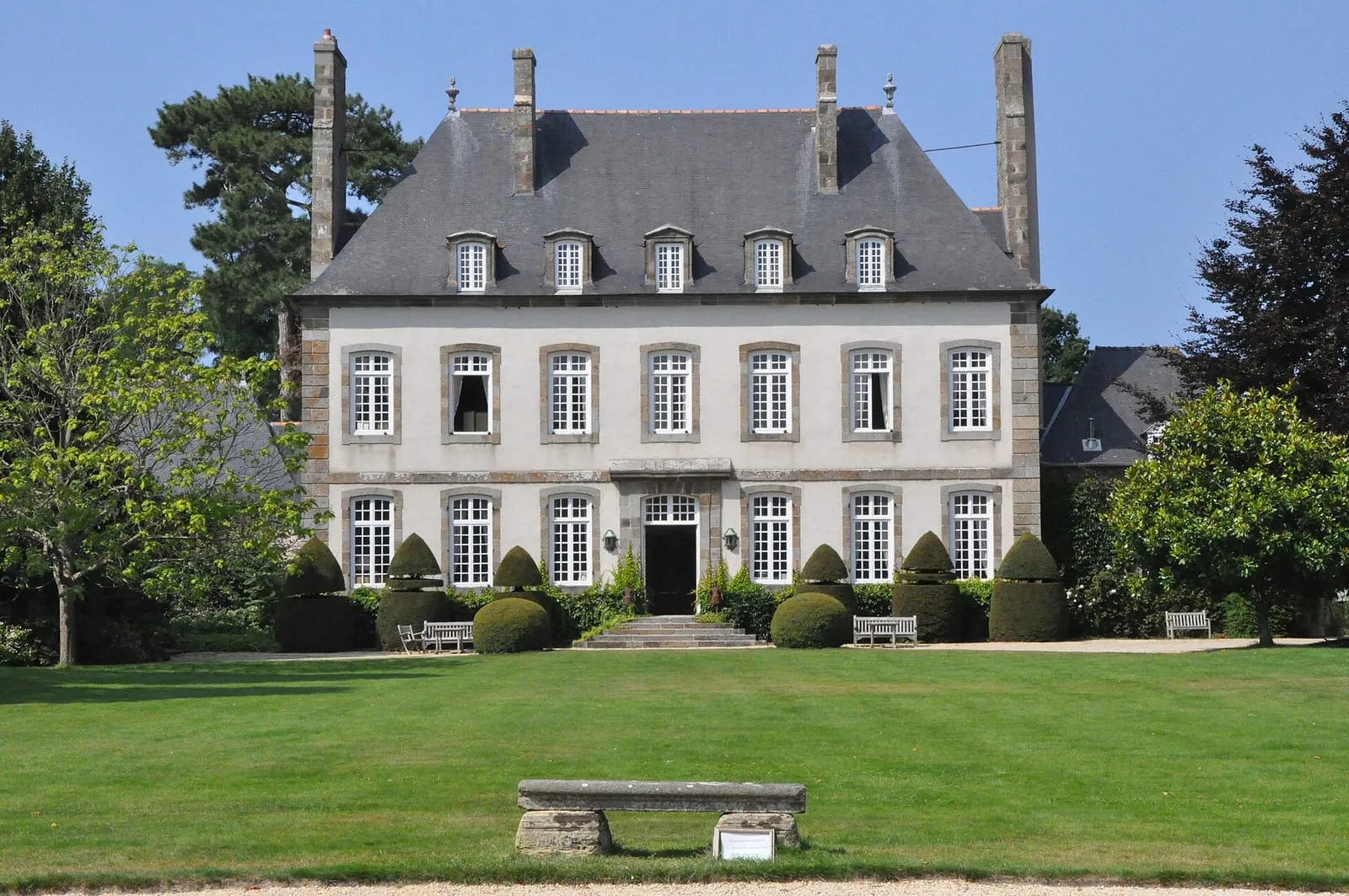
Hôtel Elizabeth

Intra-Muros · €€approximate location

Behind a 16th-century timber-framed façade — one of the rare survivors of 1944 — a small hotel of character on Rue des Cordiers, near the Saint-Louis gate. The calm of the lower lanes of the walled town, five minutes from the Holland bastion for the evening high tide and from the quays for the market. A discreet base for living the town to the rhythm of the tide.

Staying Intra-Muros in Saint-Malo: an honest guide

Hôtel France et Chateaubriand

Intra-Muros · €€approximate location

On Place Chateaubriand, backing onto the castle, fifty metres from the Saint-Vincent gate: the institution of the walled town, in a 19th-century building. Upper-floor rooms on the castle side glimpse the sea above the ramparts; above all, Éventail beach and the walk out to Fort National lie at the foot of the hotel, just beyond the wall.

Staying Intra-Muros in Saint-Malo: an honest guide

Hôtel Le Nouveau Mondesea view

The Sillon · €€€approximate location

On the Sillon seafront, towards Paramé, a contemporary hotel whose name salutes the Saint-Malo departures for Newfoundland. The sea-view rooms take in the bay from Fort National to the Pointe de la Varde; the spa with a view completes rainy days. The promenade at the foot of the hotel leads to the ramparts in a twenty-minute walk facing the sea.

Sea-view hotels in Saint-Malo: the Sillon seafront
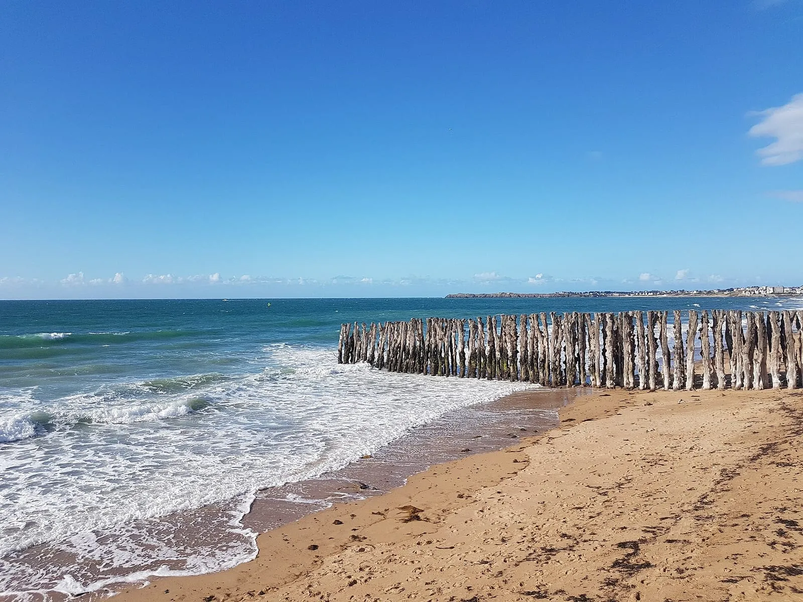
Hôtel Printania (Dinard)sea view

Dinard – Saint-Lunaire · €€approximate location

Above the Clair de Lune promenade in Dinard, a house of tradition with an assumed Breton décor — box beds, faience, regional furniture. The estuary-side rooms hold Saint-Malo in the window, set on the water at high tide. The sea-shuttle jetty is five minutes away: a ten-minute crossing puts you at the foot of the ramparts.

La Maison des Armateurs

Intra-Muros · €€€approximate location

In the heart of the walled town, a stone's throw from the Grande Porte: you sleep in the corsairs' city, and the rampart walk is three minutes away — precious for catching the morning high tide or the evening low tide with no timetable constraints. No sea view from the rooms, but the whole tide within walking distance, from Bon-Secours to the Grand Bé crossing.

Staying Intra-Muros in Saint-Malo: an honest guide

Le Beaufortsea view

The Sillon · €€approximate location

A 19th-century Saint-Malo townhouse set on the Chaussée du Sillon, facing the open sea. The sea-side rooms frame exactly the field of breakwater posts and Fort National in the distance — the dream observatory of the tidal range, from first light to last flood. The walled town is a quarter of an hour away on foot along the sea wall.

Sea-view hotels in Saint-Malo: the Sillon seafront
Le Valmarin

Saint-Servan · €€approximate location

An 18th-century shipowner's country house in its walled garden, in Saint-Servan, a few hundred metres from Bas-Sablons beach and the Solidor tower. You sleep in a corsair-era gentleman's residence, in the quiet, away from the walled town's crowds — with front-row access to the Solidor foreshore and the Alet loop for low-tide mornings.

Shore foraging in Saint-Malo: where to stay and when to come

Safety & caution— 6 places

Grand Bé crossing — caution

Intra-Murosto be checked

The black spot of Saint-Malo rescues: the causeway between Bon-Secours and the Grand Bé floods from mid-rising-tide, and every spring tide traps walkers who lingered too long on the islet. The sea does not cut the crossing off all at once: it rises from both sides simultaneously, and the way back quickly becomes impassable. Check the tide time before crossing, head back as soon as the water touches the causeway — and never attempt to swim across.

⚠ Reachable at low tide only — check the official SHOM tide times before crossing.

Main beach first-aid station

The Sillonapproximate location

The main lifeguard station of the Sillon's Grande Plage, staffed in the summer season. The lifeguards post the flag colour, the day's tide times and the supervised bathing zones — the right reflex before letting children into the water on a beach where the sea advances several hundred metres in a few hours. Out of season, bathing is unsupervised: double your caution.

Lifeguarded in the summer season (July–August).

Naye lock — harbour area

Southern Saint-Malo – stationapproximate location

The lock that keeps the docks afloat despite the tidal range sets the rhythm of all Saint-Malo navigation: openings only happen around high water. This is a working harbour area — moving bridges, lock chamber, strong currents nearby: swimming and fishing are forbidden, and pedestrian crossing closes during manoeuvres. Curiosity from the quaysides is welcome, though: the chamber rising and falling is a tide show in itself.

Rance dam surroundings — caution

Rance valleyto be checked

Near the dam, the Rance no longer obeys the moon alone: the power station's turbine runs and sluicings create violent currents and shift the estuary's level out of step with the natural tide. Swimming and boating are forbidden in the dam's safety zone, and on every Rance foreshore one rule applies: the water can rise earlier and faster than the tide table announces. Leave nothing — equipment or children — at the water's edge on the slipways.

Rothéneuf inlet — caution

Rothéneufto be checked

The Rothéneuf inlet empties and refills through a narrow channel: on the flood, the current reaches the speed of a river in spate and the sandbanks at the back of the cove become cut off very quickly. Walkers heading for Besnard island or crossing the inlet at low tide must turn back at slack water — the rising tide cuts the low points first, behind you. Swimming in the channel at mid-tide is unwise even for strong swimmers: the current is stronger than you are.

⚠ Reachable at low tide only — check the official SHOM tide times before crossing.

Sillon sea wall in storms — caution

The Sillonto be checked

The waves that clear the sea wall on spring-tide days with swell are not a game: the falling mass of water can knock an adult over and drag them seaward, and fatal accidents have happened here. On high-risk days the town closes access to the wall — respect the barriers. The show is to be watched from set-back streets, windows and terraces, never from the parapet or the beach.

Practical & transport— 7 places

Dinard – Pleurtuit airport

Dinard – Saint-Lunaireto be checked

The Emerald Coast's small airport, on the Pleurtuit plateau, fifteen minutes from both Dinard and Saint-Malo via the Rance dam. It operates scheduled or seasonal links to Great Britain and the Channel Islands — routes that change with the seasons and the airlines: check the current offer before building a trip around it. Car hire on site; no rail connection.

Naye ferry terminal

Southern Saint-Malo – stationto be checked

The international terminal: overnight ferries to Portsmouth and fast links to Jersey and Guernsey — the Channel Islands, where the tidal range is as spectacular as here, make an easy day trip. Fifteen minutes on foot from the walled town. Operators and frequencies vary with the season: check current timetables before building your plans.

Paul Féval park-and-ride

Southern Saint-Malo – stationapproximate location

The big park-and-ride south of town, linked to the walled city by shuttle bus. On spring-tide days, summer weekends and during major events, parking near the ramparts is a lottery: leaving the car here spares you the queuing and the fines. Build the shuttle ride into your timing if you are aiming for high water — it does not wait.

Saint-Malo – Dinard sea shuttle

Intra-Murosto be checked

From the Dinan slipway below the ramparts, the sea shuttle crosses the estuary to Dinard in about ten minutes — ten times shorter than driving round via the Rance dam. The crossing is a viewpoint in itself: ramparts, islets and Dinard's villas file past at water level. Runs all year except in poor sea conditions; the boarding point can shift with the tide, so check before you sail.

Saint-Malo markets (Halle aux Blés)

Intra-Murosto be checked

The Halle aux Blés and its square host the walled town's market — fish and shellfish from the bay, Cancale oysters, butter and vegetables from the Clos-Poulet. Each district has its days: Intra-Muros, Paramé, Saint-Servan and Rocabey take turns through the week, in the mornings — check the calendar locally or with the town hall. The right low-tide-day ritual: market in the morning, foreshore or islets in the afternoon.

Saint-Malo railway station

Southern Saint-Malo – stationto be checked

The TGV terminus: Paris is about 2 h 15 away without a change, via Rennes — a spring-tide weekend return trip works fine without a car. From the station, the walled town is some twenty minutes on foot along Avenue Louis-Martin, or a few minutes by bus. The Sillon hotels are a comparable distance. Taxis and bicycle hire on the forecourt.

A spring tide weekend in Saint-Malo: the full plan

Saint-Malo tourist office

Intra-Murosto be checked

On the Saint-Vincent esplanade, between the Vauban marina and the main gate of the walled town. It stocks the directory of visits (Fort National, the Corsair's mansion, guided ramparts), printed tide times for the day and the safety guidance issued for spring-tide periods. Ticket desks for boat excursions (Cézembre, Cap Fréhel, Chausey) are close by on the quays.

Day trips nearby— 13 places

Cancale — La Houle harbour

Cancale – Pointe du Grouinto be checked

Brittany's oyster capital, whose beds grid the foreshore as far as the eye can see whenever the tide falls — a farmed landscape drawn entirely by the tide. At the oyster market by the lighthouse, you eat standing up facing the bay, shells returned to the foreshore, with Mont-Saint-Michel as the backdrop. Cancale's flat oyster supplied the table of Louis XIV, who had it carried to Versailles.

Cap Fréhel

Cap Fréhelto be checked

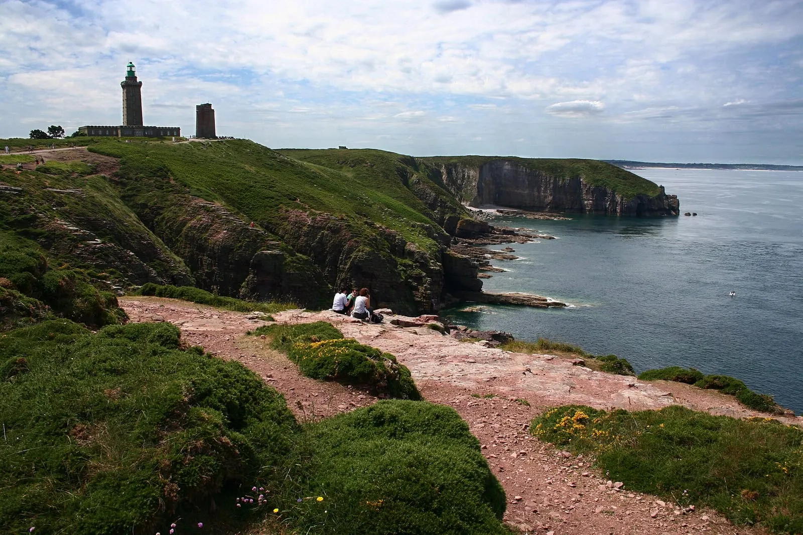
Some forty kilometres to the west, Cap Fréhel's cliffs of pink sandstone and black schist drop seventy metres into a turquoise sea. The protected heath of heather and gorse blazes with colour in spring and late summer; seabird colonies nest on the sheer faces — one of the great birdwatching sites of the Channel coast. The lighthouse can be climbed in season. Allow half a day including the coast road.

Cézembre island

Roadstead & offshore islandsto be checked

The island closing the roadstead offshore, served in season by a launch from Saint-Malo. Its due-south-facing beach is reckoned among the mildest in the region — the water gains a few degrees on the mainland. The rest of the island testifies to a harsher past: pounded in 1944 (one of the most heavily bombed sites of the war in the west), it remains partly uncleared of ordnance and you never stray from the authorised areas. A restaurant on the beach, no other facilities; the crossing takes about twenty minutes.

Châtelier lock and Lyvet port

Rance valleyapproximate location

This is where the sea ends: the Châtelier lock marks the limit of the maritime Rance — downstream, the estuary and its tide; upstream, the placid canal leading to Dinan. Lockages only happen when the water is high enough, around high tide, and the little port of Lyvet lives to that rhythm, between waiting yachts and square-net fishermen. From the bridge you take in the contrast of the two worlds; crêperies and a slipway on site. A perfect walk's destination along the Rance cycleway.

Clair de Lune promenade (Dinard)

Dinard – Saint-Lunaireto be checked

The path hugging the estuary at water level, from the sea-shuttle jetty to Prieuré beach, sheltered from the open-sea wind. The Rance microclimate grows palms, agaves and mimosas here among the listed villas. On summer evenings the promenade is lit and set to music. Across the water, the ramparts of Saint-Malo change their pedestal with the tide — set on the water, then perched on the sand.

Dinan

Rance valleyto be checked

Thirty kilometres upstream, Dinan is Brittany's most complete medieval town: nearly three kilometres of ramparts, whole streets of timber-framed houses, and the vertiginous Rue du Jerzual tumbling down to the port. The tide still climbs this far: the Rance is maritime up to the nearby Châtelier lock, and the little port at the head of the ria lives to the rhythm of the flood. Cruising up the Rance by boat from Saint-Malo is a fine way to arrive.

Fort la Latte

Cap Fréhelto be checked

The castle of La Roche Goyon, a 14th-century fortress planted on a headland next to Fréhel, is reached by two drawbridges over chasms where the sea beats. Remodelled under Louis XIV for artillery, it keeps its shot furnace, used to heat cannonballs red-hot to set ships ablaze. Cinema immortalised it: the final duel of The Vikings, with Kirk Douglas, was filmed here in 1957. From the wall-walk, a plunging view over the whole Fresnaye bay.

La Landriais (Le Minihic-sur-Rance)

Rance valleyapproximate location

On the left bank of the Rance, the Landriais cove was one of the estuary's great shipyards: Newfoundland schooners and coasters were built here in wood, and the 19th-century dry dock, known as the “cale de l'Épine”, can still be read in the foreshore. The path following the bank strings together mossy slipways, bird-filled mudflats and stone villages — the painters' Rance, twenty minutes from Saint-Malo. A few yards keep traditional wooden boatbuilding alive.

Mont-Saint-Michel

Bay of Mont-Saint-Michelto be checked

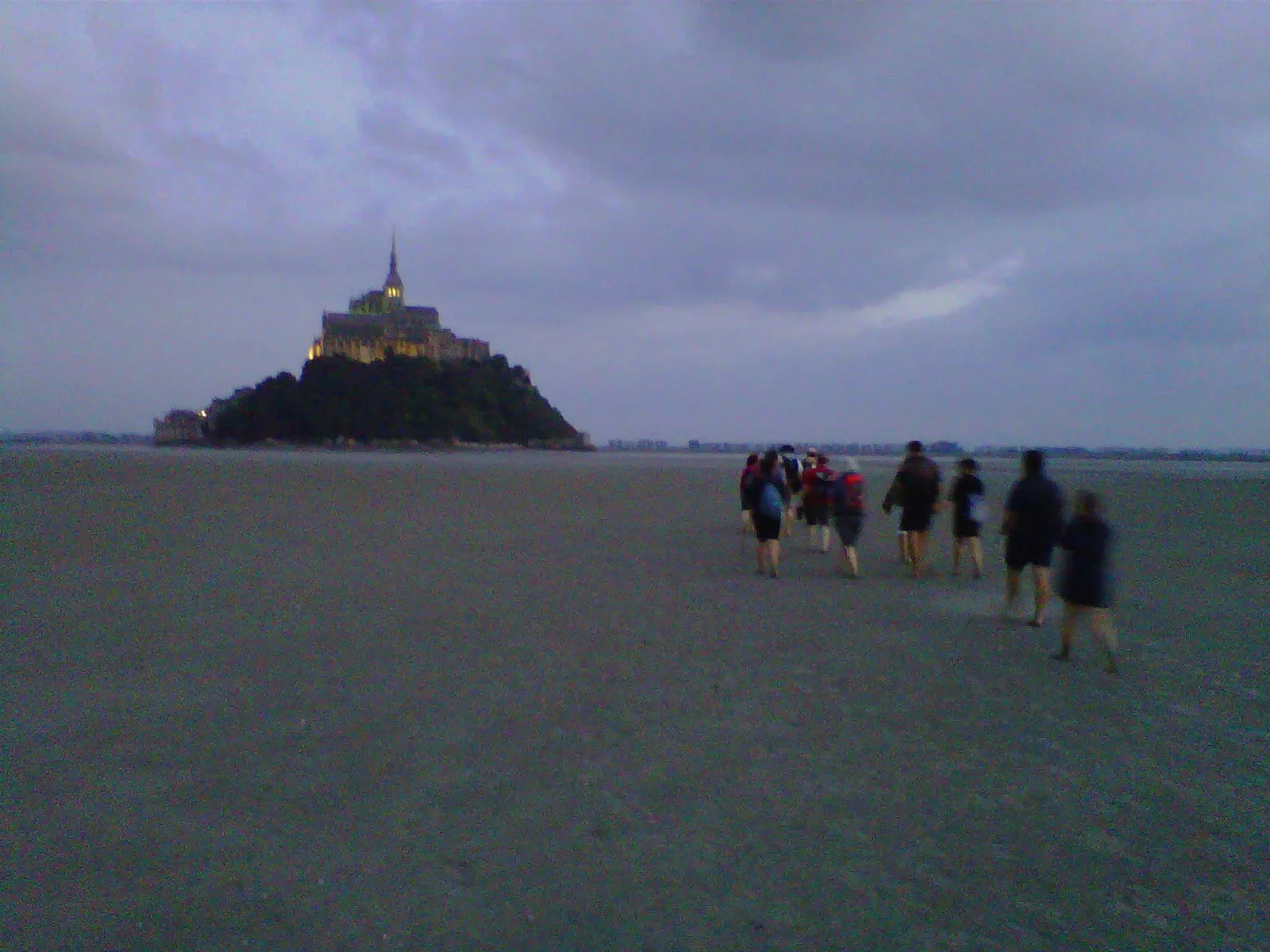
An hour's drive from Saint-Malo, the bay where the spring tides take on their legendary dimension: the sea withdraws more than ten kilometres and returns, as the saying goes, “at the speed of a galloping horse” — in truth that of a fast walker, which is quite enough to trap people among the sands and channels. On the strongest coefficients, the Mont becomes an island again before the eyes of the crowds massed on the ramparts. Cross the bay on foot only with a certified guide.

Plouër-sur-Rance

Rance valleyapproximate location

Mid-estuary, on the left bank, Plouër hides its marina in a former mill cove: a sill holds the water back at low tide, so its boats float while the rest of the Rance lies dry — the direct legacy of the tide-mill dykes. Around it, granite hamlets, old slipways and a bankside path towards the Plouër slipway and Langrolay. A peaceful stage on the way up to Dinan, twenty-five minutes from Saint-Malo.

Pointe du Grouin

Cancale – Pointe du Grouinto be checked

The spur dividing the Saint-Malo coast from the bay of Mont-Saint-Michel, facing the Île des Landes and its bird reserve. In clear weather the view runs from Cap Fréhel to Mont-Saint-Michel. The start line of the Route du Rhum is laid offshore from here every four years. At spring tides, the current accelerates into a genuine race between the point and the island — spectacular from the path, feared by sailors.

Route du Rhum 2026 in Saint-Malo: the dates and where to stay

Rance tidal power station

Rance valleyto be checked

Commissioned in 1966, the world's first industrial-scale tidal power station: its 24 turbines generate electricity in both directions, on the flood and on the ebb — the exceptional tidal range of the Rance turned into energy for sixty years. The dam carries the road linking Saint-Malo to Dinard, with a lock for boats; the visitor centre on the right bank explains how it works (check it is open).

Saint-Suliac

Rance valleyto be checked

On the left bank of the Rance, one of the officially listed Most Beautiful Villages of France: fishermen's lanes lined with low walls where nets still sometimes dry, a fortified church in its close, gentle slipways on the estuary. A former Newfoundland-fishing village — its women watched here for the return of the cod schooners. From the neighbouring Mont Garrot, a view over the whole valley; at low tide the ria uncovers banks and old fish traps.

Where can I watch the spring tides in Saint-Malo?

The best spots are on the map, under the “Spring-tide viewpoints” layer: the Sillon sea wall for waves at high tide, the Môle des Noires and the ramparts for the sweep of the bay, the Pointe de la Varde or Dinard's Pointe du Moulinet for the wider view. In stormy weather, always watch from a distance and behind shelter — never from the sea wall itself.

Can you walk to the Grand Bé at low tide?

Yes: at low tide a causeway appears from Bon-Secours beach to the Grand Bé, then on to the Petit Bé. Fort National is reached the same way from Éventail beach. Beware — the sea comes back in fast and cuts the islands off: check the official SHOM tide times before crossing, and head back as soon as the tide turns.

What exactly does this map cover?

Saint-Malo itself (Intra-Muros, the Sillon, Saint-Servan, Paramé, Rothéneuf) and the closest day trips: Dinard, the Rance valley, Cancale and the Pointe du Grouin, Cap Fréhel, out to Mont-Saint-Michel. Every place is sorted by category — switch the layers on and off to match what you are looking for.